English Harbour · Shirley Heights
Shirley Heights and the View Over English Harbour
A ridge-top lookout, a signal station that watched for ships, and Sunday evening steel pan put the military past alongside its famous view.
- Parish
- St Paul
- From St John's
- 45 minutes
- Reading
- 3 min
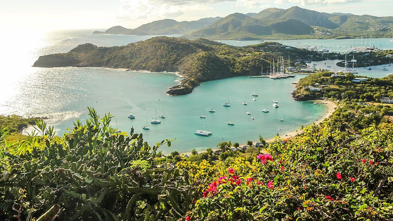
In the 1780s, General Sir Thomas Shirley was Governor of the Leeward Islands, and Shirley Heights takes its name from him. What is it now? A ridge of military ruins high above English Harbour, with a view that reaches across the harbor, over Falmouth Harbour and along the south coast. That’s the outline; the details make the place more than a lookout.
What did the Lookout do? It was a signal station, watching for ships approaching English Harbour. The name fits the job plainly: this is a ridge above the harbor, and the station kept watch for what was coming in. The view has a history underneath it, even before the ruins start to tell their part of the story. It’s a lot of work for one lookout, and it makes the word “view” feel a little incomplete. The ridge belonged to a defensive picture, not simply a pretty one.
What was being defended from up here? The dockyard below. Shirley Heights had barracks, gun batteries and a powder magazine, part of the defenses around the dockyard. Those are the pieces of the military story: places for troops, weapons and powder, set above English Harbour. The ruins are the visible remains of that work, not just a convenient perch for a wide view.
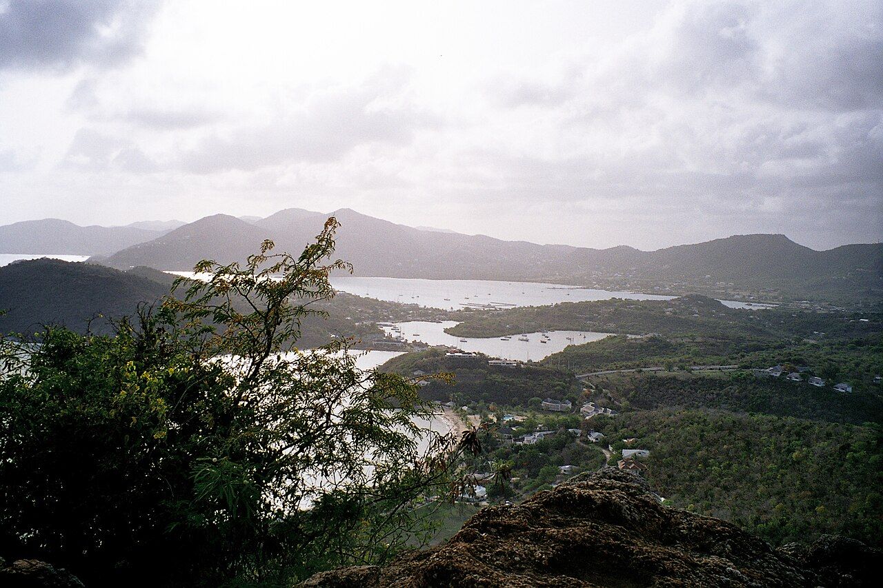
And what’s in the view? English Harbour, Falmouth Harbour and the south coast, all laid out from the ridge. On clear days, Montserrat and Guadeloupe can be seen too. The horizon gives the lookout its broad reach, while the harbors keep the scene tied to the history below. It’s a view with its own geography lesson, though nobody has to turn it into homework. The place names matter, but so does the shape of the scene: the two harbors, the south coast, and, on clear days, those farther views.
How does the ridge fit into a visit on foot? The road climbs from English Harbour to Shirley Heights through the national park. There’s also the trail up from Galleon Beach. Either way, the destination is the same high ground: the military ruins, the Lookout and the view over the harbors.
Why does Sunday evening come up so often in the story? A gathering with steel pan and live music at Shirley Heights has become an Antiguan tradition. That gives the ridge a different role from its old watch over approaching ships: people come together for music, with the view still in place. It’s a change in what the lookout is for, without changing where it stands.
Is the sunset part of the draw? The ridge looks over the harbors and the south coast; the sunset gives people a reason to point a camera that way. Add Sunday evening music to the picture, and the place carries both the military past and a present-day gathering.
So what stays with a visitor: the ruins, the view, or the music? They’re all part of Shirley Heights, and none needs to erase the others. A signal station watched for ships, defenses guarded the dockyard, and now the ridge is known for its wide outlook and Sunday evening gathering. The harbor remains below; the view does the rest of the talking.
The numbers: the 1780s. The view, of course, refuses to stay within the margins.
Photo credits: Dr. Thomas Liptak: Creative Commons BY 4.0; Z_dead from London, UK: Creative Commons BY 2.0.

