Hikes, Reefs & Barbuda · Barbuda
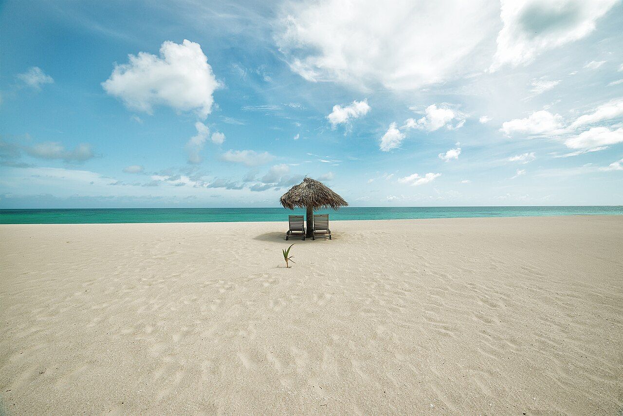
Barbuda's long pink-sand coast
A flat coral island, a west-coast beach of around 17 miles, pink sand in places, and Codrington, Barbuda's only village.
- Parish
- Barbuda
- From St John's
- ferry or short flight
- Reading
- 2 min
Myth and fact
40 kilometres north of Antigua, Barbuda is a flat coral island, with its highest land only a few dozen metres above the sea. Does that make it a simple place to sum up? Not quite. The island’s scale, its beach, and the small settlement of Codrington give it a character that comes through in the details (and those details don’t all fit on a postcard).
Myth: Flat means there isn’t much to see. So what does flat actually mean here? The highest land rises only a few dozen metres above the sea. That’s a striking part of Barbuda’s shape, but the west coast has its own long line to follow: a beach of around 17 miles runs between the sea and Codrington Lagoon. The island’s low profile doesn’t make that stretch any less substantial.
Myth: The whole beach is pink. Is the sand really pink? Some beaches on Barbuda have pink sand, colored by crushed shells and red foraminifera. That’s the useful distinction: pink sand belongs to some beaches, not necessarily every part of that around-17-mile west-coast run. The color has a specific source, too, rather than being a trick of wording or a label for the whole island.
Myth: Barbuda is just a beach. What’s beyond the coast? Codrington is the only village on Barbuda, and it sits beside the lagoon that borders the long beach. There’s also the frigatebird colony in the lagoon. The island has a population of under 2,000 people, so the village is a real part of the picture, not a footnote to the shoreline.
What does land ownership add to that picture? Land on Barbuda is held in common by the people of Barbuda. That’s a clear difference in how the island is described: not as a collection of private parcels, but as land held in common. The fact stands on its own, without needing a grand claim attached to it.
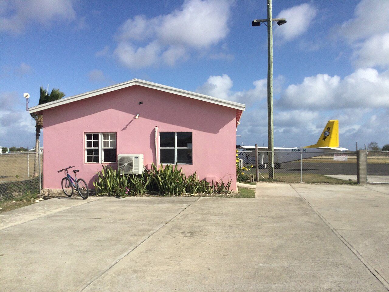
Myth: Antigua and Barbuda are practically the same place. How different can two islands about 40 kilometres apart feel? Barbuda’s flat coral ground, its one village, and the long beach between sea and lagoon give it a distinct outline. A ferry crossing from St John’s takes about 90 minutes, while small planes fly between Antigua and Barbuda in about 20 minutes. Close on a map; still its own island.
And are beaches the only unexpected detail? Fallow deer, brought by the Codrington family, still live wild on Barbuda. Reefs around the island have wrecked many ships over the centuries. Those facts sit alongside the pink sand and the lagoon, adding more to the island’s story than a beach-length can hold.
So is Barbuda best understood through the beach, the village, or the way the land is held? The answer may depend on which detail stays in mind after the crossing.
The numbers: about 40 kilometres north of Antigua; around 17 miles of west-coast beach; under 2,000 people; about 90 minutes by ferry or about 20 minutes by small plane. Which number would shape your picture of Barbuda?
Photo credits: Yan Renucci: Creative Commons BY 3.0; CROIX: Creative Commons BY-SA 4.0.

