Beaches & Bays · Jolly Beach
The Coast Road from Jolly Beach to Crab Hill
A beach-by-beach look at the south-west coast, where white sand, sea grape shade, the Caribbean Sea and Montserrat each have their own place in the story.
- Parish
- St Mary
- From St John's
- 30 minutes
- Reading
- 4 min
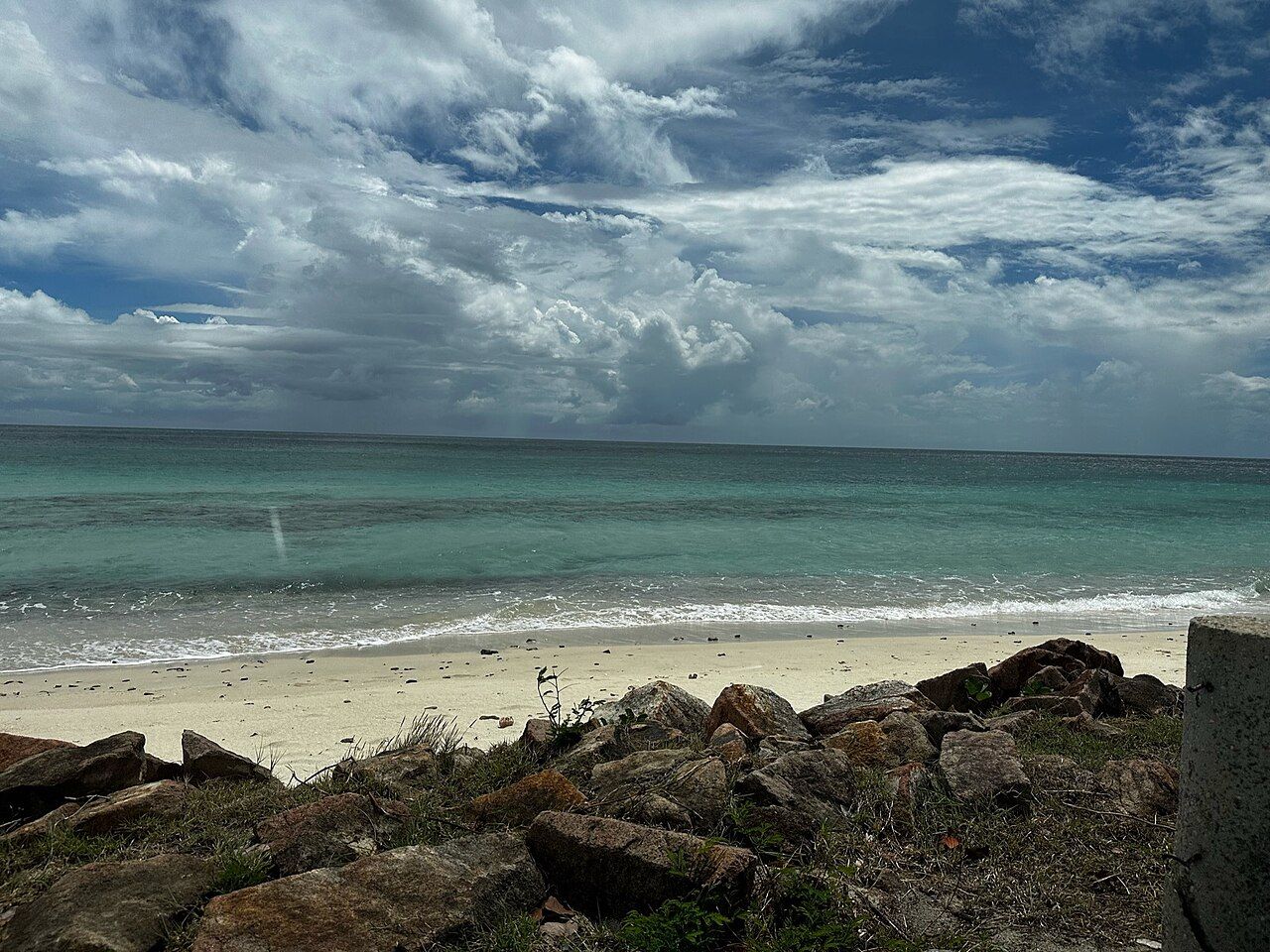
40 kilometres to the south-west, Montserrat sits beyond Antigua’s south-west beaches, visible on clear days. What does the coast road between Jolly Beach and Crab Hill actually offer? A string of beaches beside the road, a few differences in sand and shade, and the same broad Caribbean outlook along the way. Here’s the myth-and-fact version, beach by beach.
Myths and facts
Myth: Jolly Beach is just the beach beside Jolly Harbour. What’s true? It’s a long curve of white sand on Antigua’s west coast, next to the harbor. Valley Church Beach lies just south of Jolly Harbour, and its name comes from the nearby village church. So the first stretch already has two distinct names and a useful bit of local geography to go with them [a beach name can be a small map of its own].
Myth: the sand is the same all the way down. The fact we can pin down is specific: Jolly Beach has white sand. There’s no need to stretch that description along the whole coast; the beaches are named one by one, and the details don’t all land in the same place. Valley Church is identified by its position just south of the harbor and by the church behind its name. The coast’s character comes from those shifts as much as from a single postcard-style description.
Myth: the road is separate from the beaches. Ffryes Beach and Darkwood Beach sit beside the main road running down the south-west coast. Darkwood is right next to the road, making it one of the easiest beaches on the island to reach. That’s a plain, useful difference in the drive-and-swim rhythm: some beach names sit along the route, while Darkwood is right there beside it. The coast road continues past these beaches toward Old Road and the start of Fig Tree Drive.
Darkwood is right next to the road, making it one of the easiest beaches on the island to reach.
Myth: shade works the same way at every stop. Sea grape trees give patches of shade along several of the south-west beaches. Several is the important word; the shade is part of the coast, but the facts don’t assign a particular patch to every beach by name. The sand detail is similarly selective: Jolly Beach gets the white-sand description, while the other stops are better understood by their position and setting than by borrowing that label.
Myth: the beaches face different seas. They face the Caribbean Sea and the sunset. That shared outlook links this run of coast, from the beaches beside Jolly Harbour toward the villages farther south. It doesn’t mean every stretch has identical sand or shade, though. The coast has its own small changes, and the road makes it easy to think of them in sequence rather than as one long, interchangeable beach.
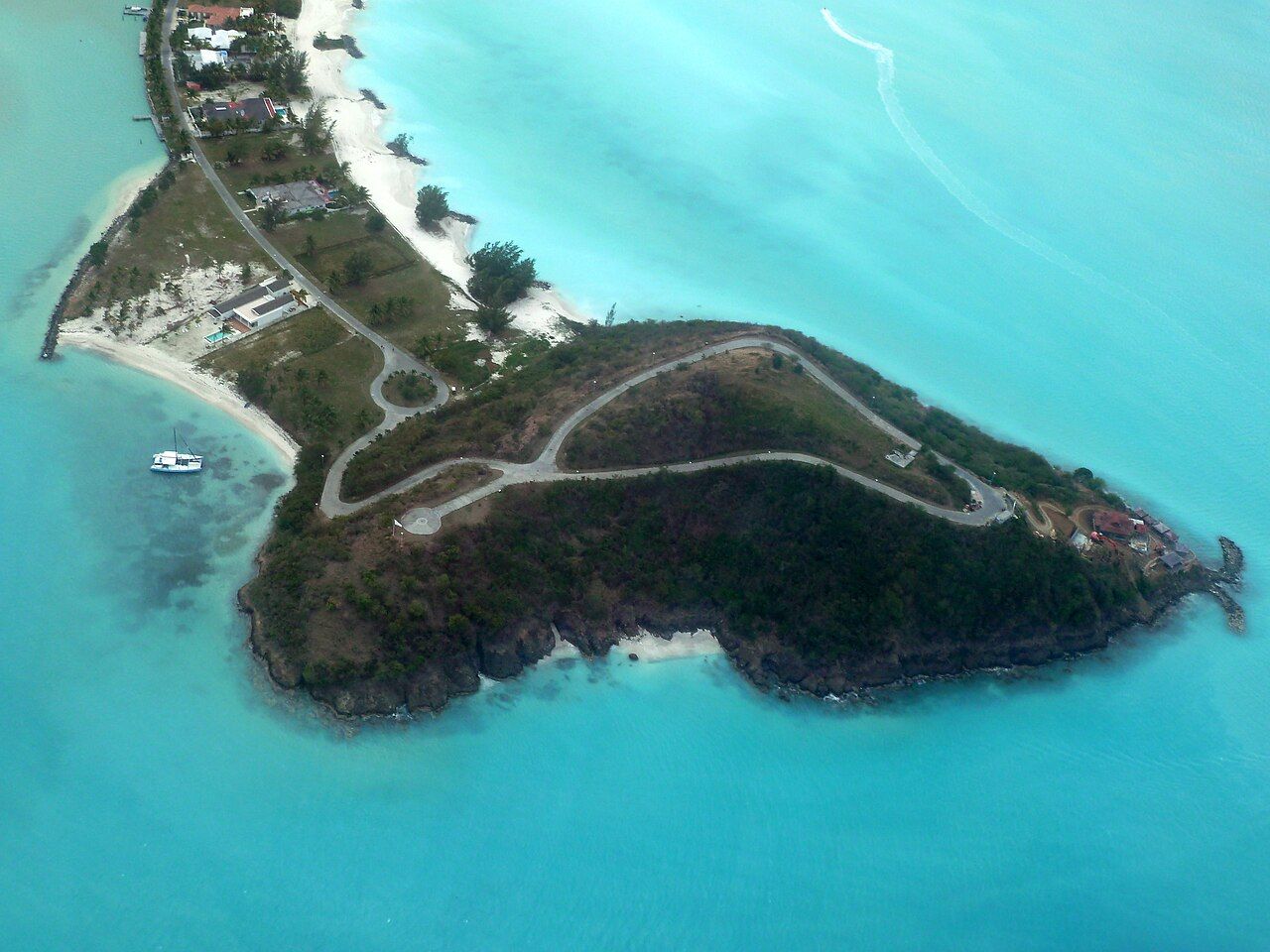
Myth: the sea has a set personality at each beach. The south-west beaches face the Caribbean Sea, but that fact alone doesn’t sort them into a beach-by-beach swell ranking. What’s clear is their shared exposure, not a claim that one stop is always calm or another always rough. For a swim-focused drive, that distinction matters: the coastline gives a useful route and different shore settings, but no fixed swell story to attach to each name.
Myth: Montserrat is only a distant outline. On clear days, the island is visible from the south-west beaches. Sometimes the Soufriere Hills volcano can be seen with a plume of steam from the Antiguan shore. It’s a striking extra in the view, and also a reminder that this coast looks outward as well as along the road. Montserrat is about 40 kilometres to the south-west; the beaches don’t need to be described as a lookout to have that horizon in the picture.
Myth: the southern end of the beach run is one long stretch with no markers. Turner's Beach lies near the village of Johnson's Point. Crab Hill is a small village between Johnson's Point and Urlings. Those place names help give the route its shape: beaches beside the road, then villages that mark where the coast is heading. The road’s continuation toward Old Road and Fig Tree Drive makes the beach run part of a wider south-west route, not a dead end at the sand.
And where does the reef fit into the picture? the reef that runs offshore lies parallel to the shore a short distance off the south-west coast. It belongs in the story even if the drive itself follows the land: the beach, the sea, and the reef sit in the same coastal frame. There’s no need to give every stop the same description. Jolly’s long white curve, roadside Darkwood, patches of sea grape shade, and Montserrat on clear days already make the route feel like a series of distinct answers to the same question: what’s this stretch like?
So, myth busted: the south-west coast isn’t one beach with several names. It’s a road-side sequence with different beach settings, a shared outlook toward the Caribbean Sea, and villages that keep the route legible. The sand and shade vary in the details we can name; the swell doesn’t come with a tidy label for each stop. If the beach names start sounding like a roll call, at least nobody has to answer present.
The numbers: 30 minutes from St John's; St Mary parish. The beaches can handle the roll call.
Photo credits: CROIX: Creative Commons BY-SA 4.0; giggel: Creative Commons BY 3.0.

