Beaches & Bays · Dickenson Bay
Dickenson Bay, Runaway Bay and the Salt Pond
A question-and-answer portrait of the north-west coast, from Dickenson Bay’s calm water and western sunset to the wading birds just inland.
- Parish
- St John
- From St John's
- 15 minutes
- Reading
- 3 min
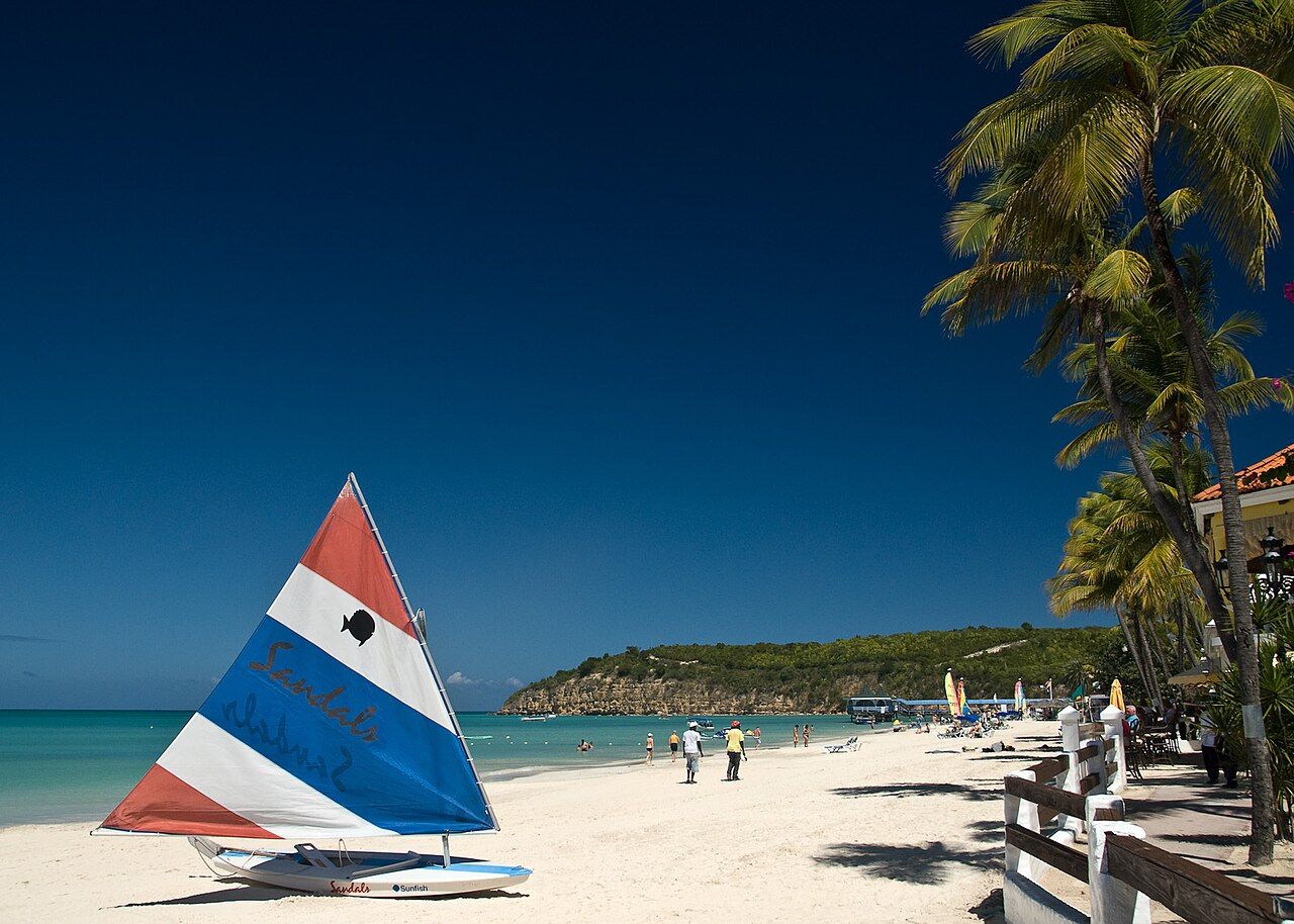
What’s the small change of scene at Dickenson Bay? Start with pale, fine sand and water that’s usually calm, then look a little farther along the coast and a little inland. Runaway Bay runs south toward Corbison Point, while McKinnon’s Salt Pond lies behind both bays. It’s a shoreline with more than one answer to the question of what’s here (the birds get a turn, too).
Myth and fact
Myth: Is Dickenson Bay just another name for the whole stretch of coast? Fact: Dickenson Bay and Runaway Bay are neighbors, not one place with two names. Runaway Bay runs south from Dickenson Bay toward Corbison Point along the same stretch of coast. That gives the coastline a simple shape: the two bays share a shore, but each has its own name and position. The long sweep of sand belongs to a connected stretch, not a single label for everything along it.
Myth: Is the water calm because there’s no Atlantic swell? Fact: The bay faces the Caribbean Sea rather than the Atlantic, and its water is usually calm. “Usually” matters here; it’s a description of the bay, not a promise about every moment. In the calm months, paddleboarding and snorkelling are common at Dickenson Bay. Those activities fit the picture of a bay where the water often sits quietly, though the coast is more than a place to look out from the sand.
Myth: Is the story all beach, with nothing much just behind it? Fact: McKinnon’s Salt Pond lies just behind Dickenson Bay and Runaway Bay. In its shallow water, herons, egrets, stilts and other wading birds feed. The pond changes the view from open coast to shallow water and birds without requiring a different stretch of shoreline. It’s an easy detail to miss if the whole place is imagined as sand facing the sea (but the inland edge has its own cast).
Myth: Does the coast face one direction all the way around? Fact: Dickenson Bay faces west, and the sun sets over the sea there. Offshore to the north sit Weed Island and Prickly Pear Island. So the view has a clear arrangement: westward sea in front, those islands offshore to the north, and the salt pond behind the bays. No need to make the geography more complicated than it is; the directions do the work.
Myth: Is Dickenson Bay cut off from St John’s? Fact: A coastal road links the bay with St John’s through the Fort James area, near the fort that guards the harbour. Dickenson Bay lies a few kilometres north of St John’s, and the road gives the coast a connection back toward town. The north-west shore isn’t only a view out to sea; it’s part of a route along the island’s coast.
Myth: Is there one fixed way to read the place through the day? Fact: The shoreline holds several scenes at once: fine pale sand, usually calm water, the neighboring sweep of Runaway Bay, and wading birds feeding in the pond behind them. At Dickenson Bay, the west-facing sea brings the sunset into the picture. The calm-month water sports add another detail, while the islands offshore and the salt pond keep the view from being only beach and sea. Runaway Bay may sound as if it’s in a hurry, but it has nowhere to run off to.
The numbers: A few kilometres north of St John’s; 15 minutes from St John’s. Runaway Bay, meanwhile, isn’t on a schedule.
Photo credits: Paul Kowalow: Creative Commons BY-SA 3.0.
